
Transcontinental Railroad Backcountry Byway
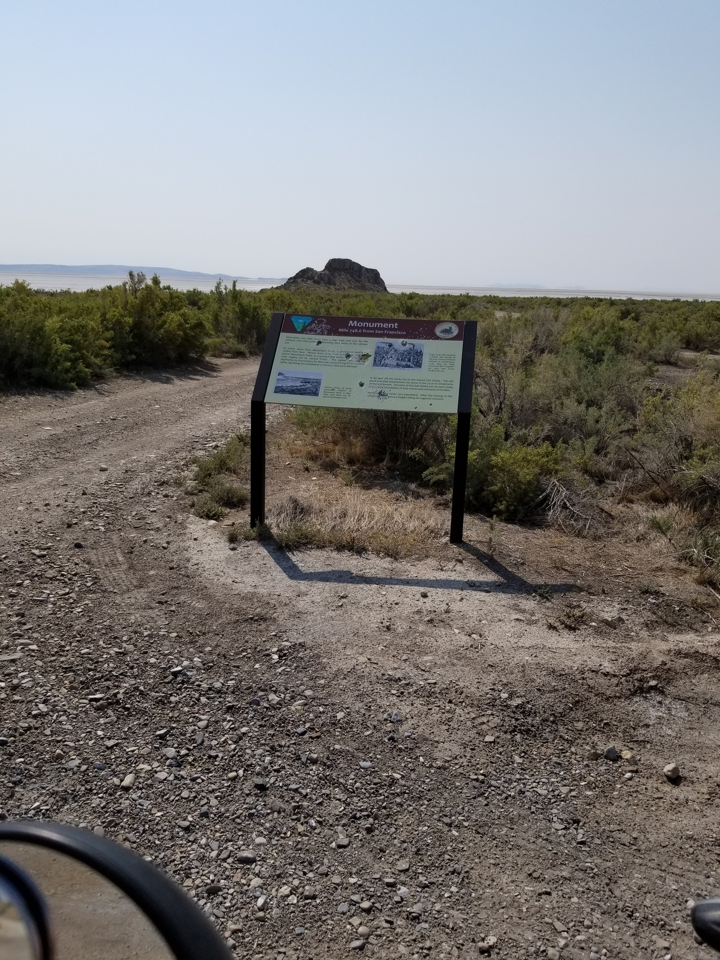
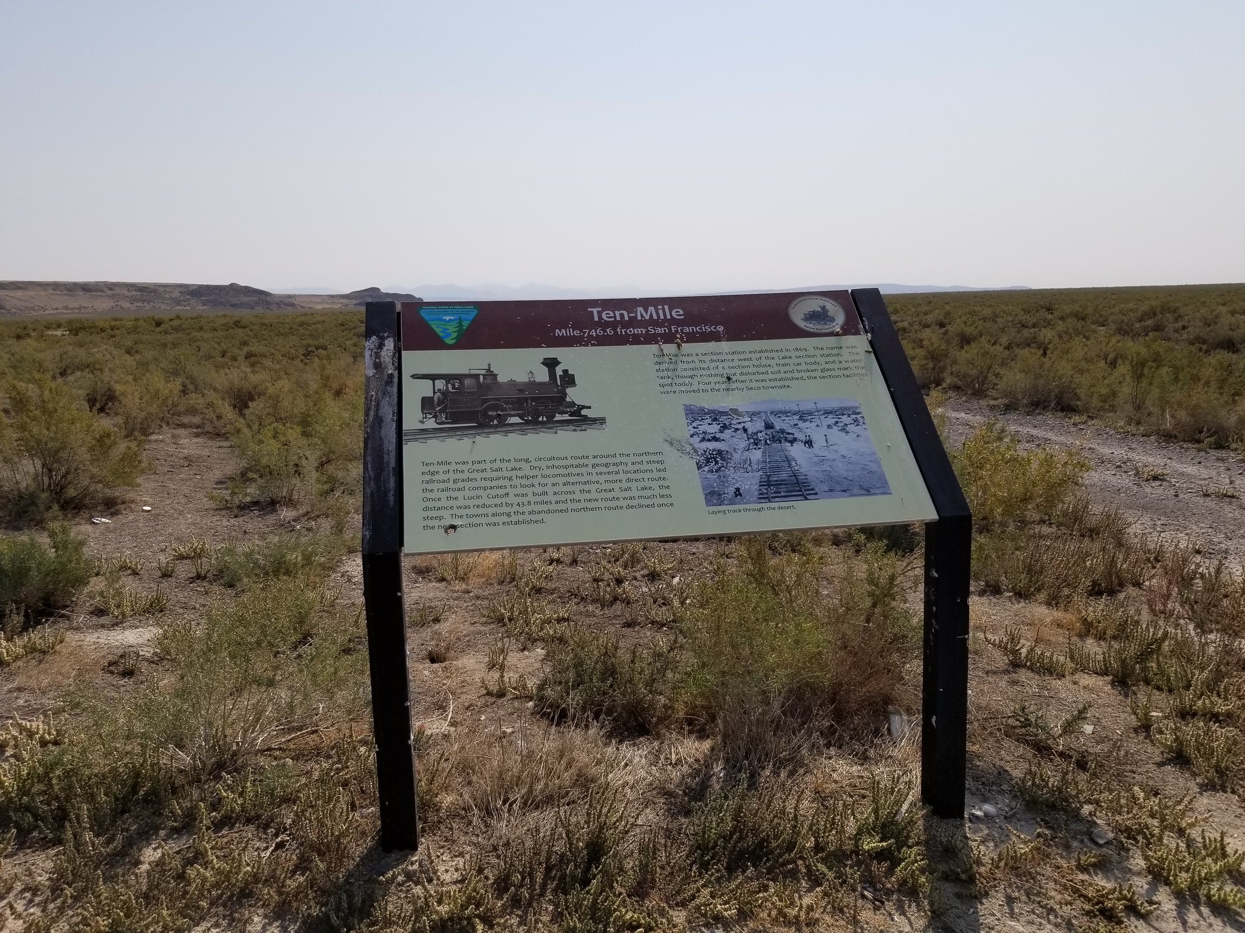
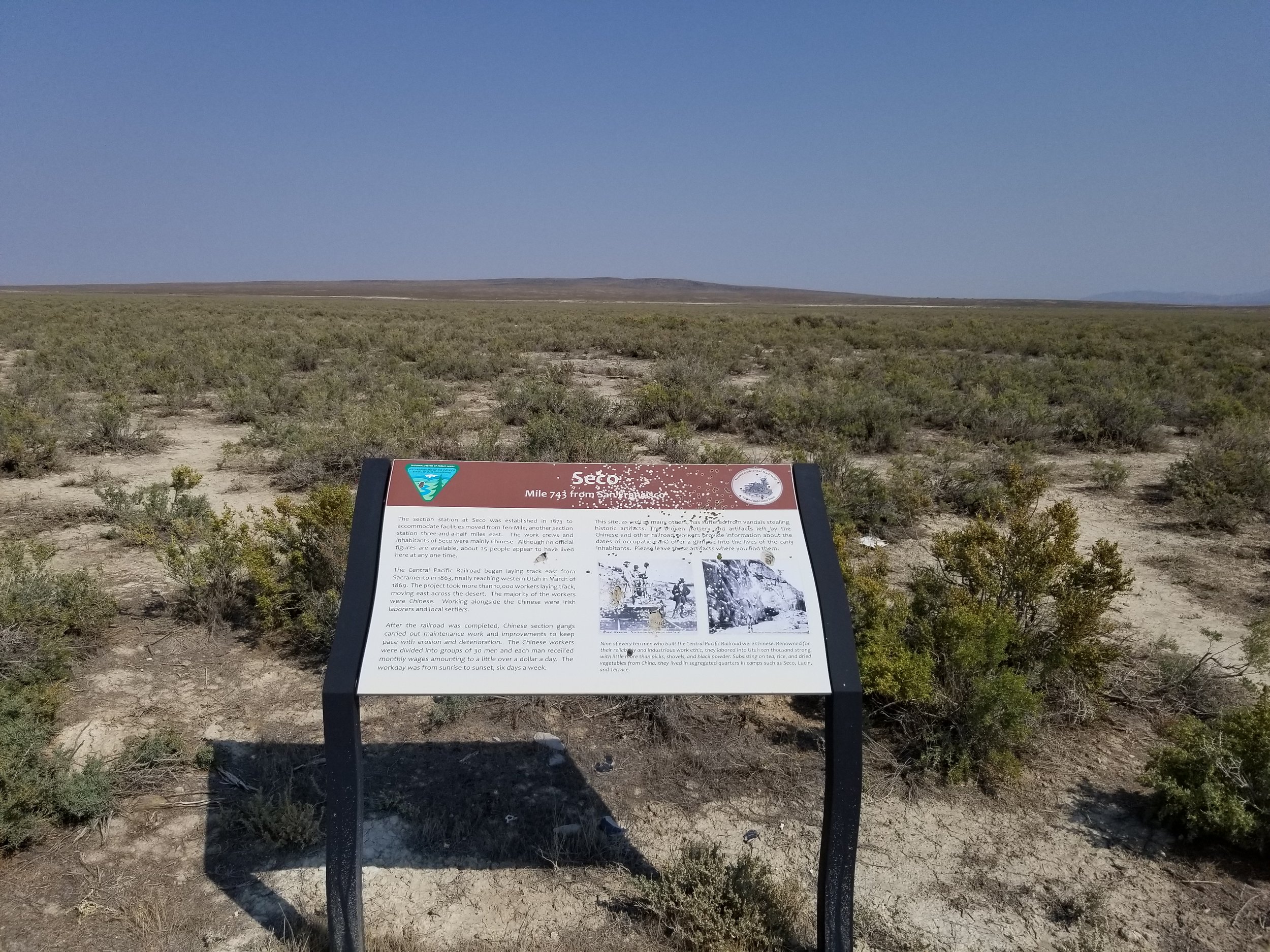
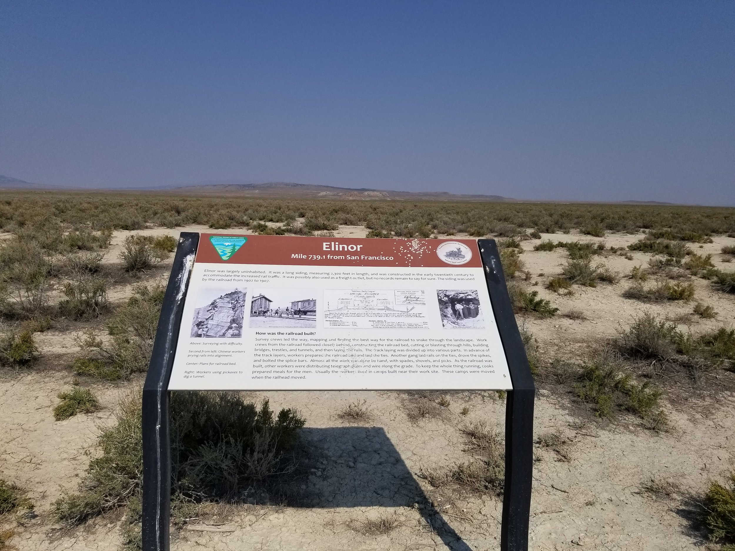
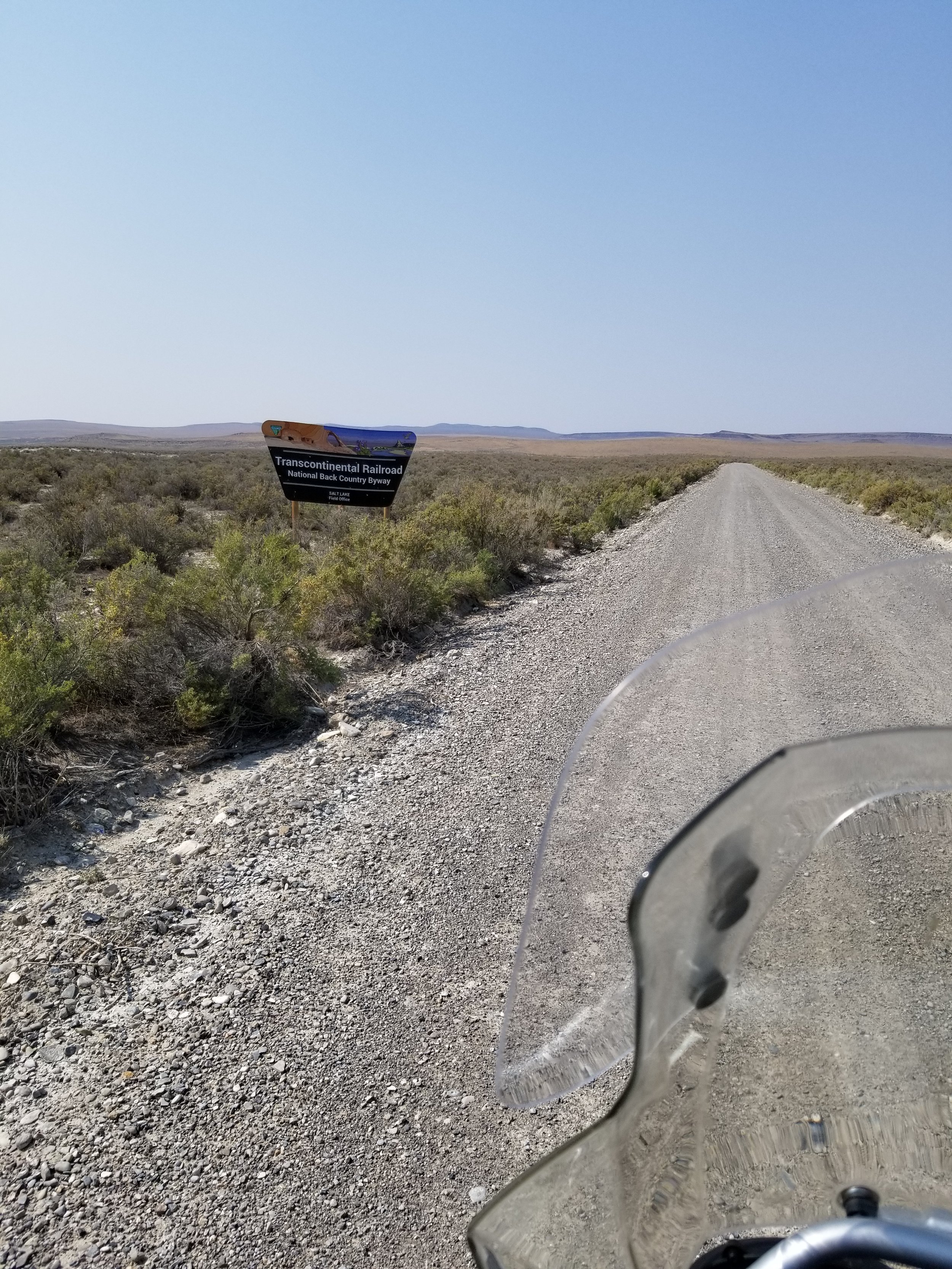
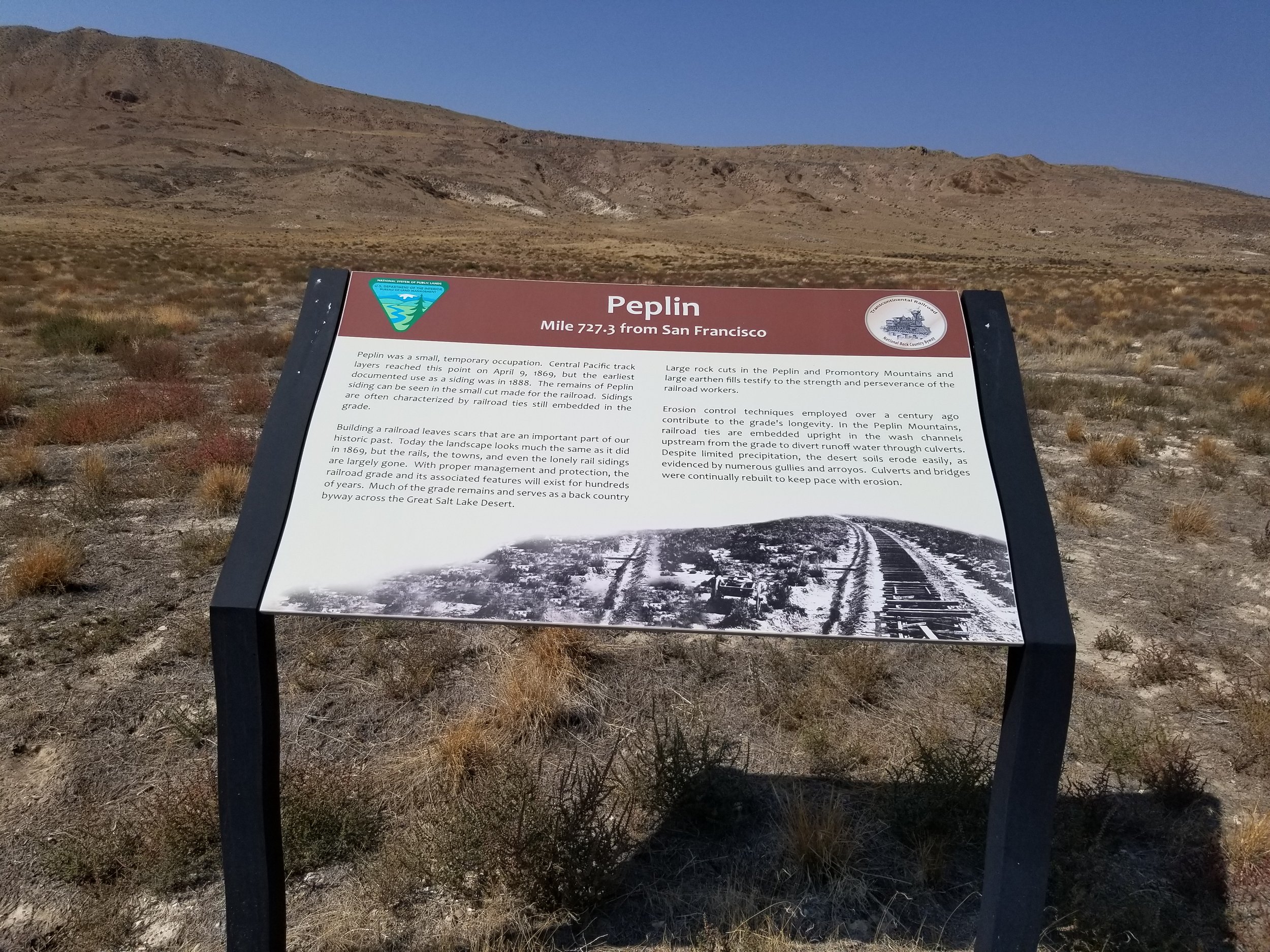
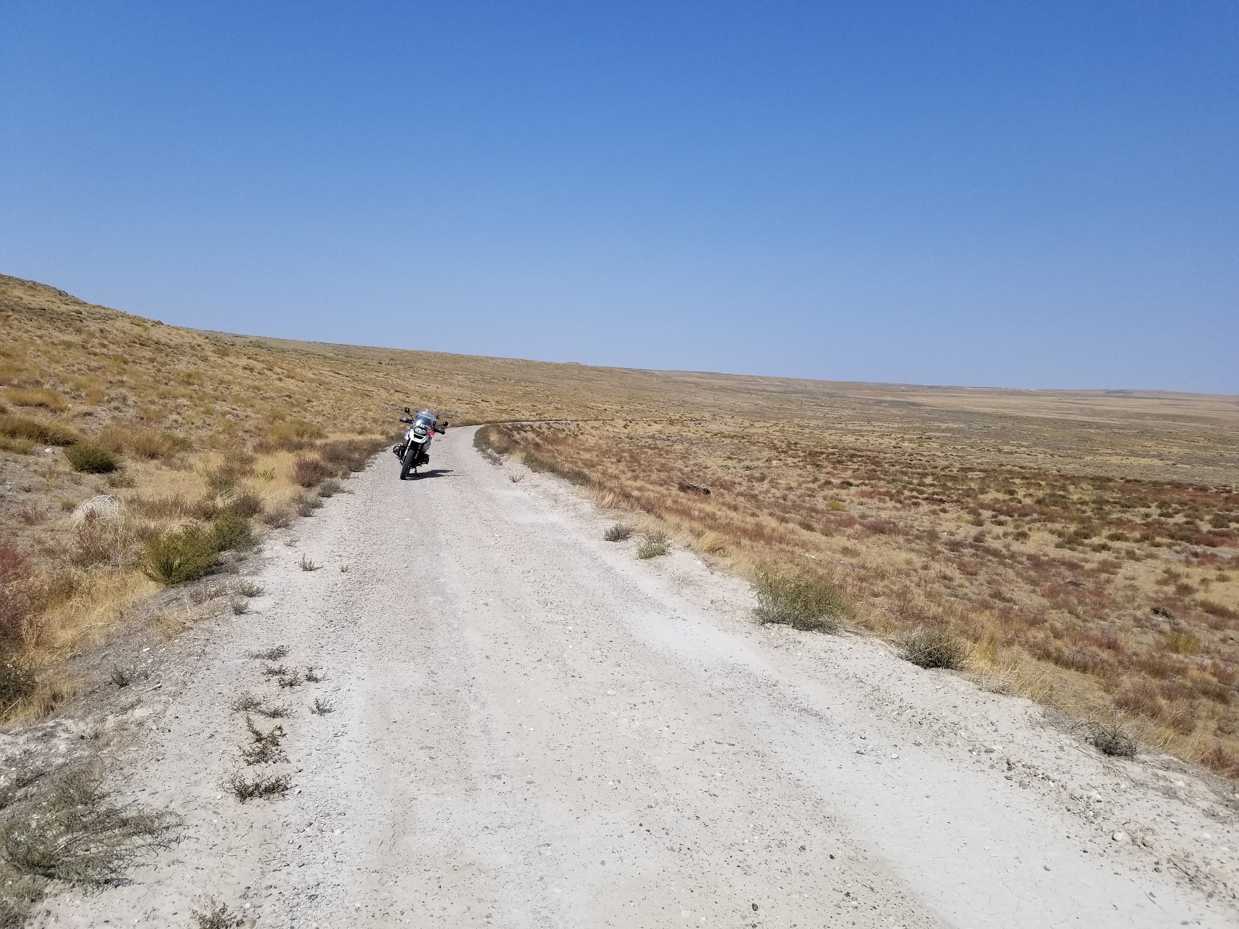
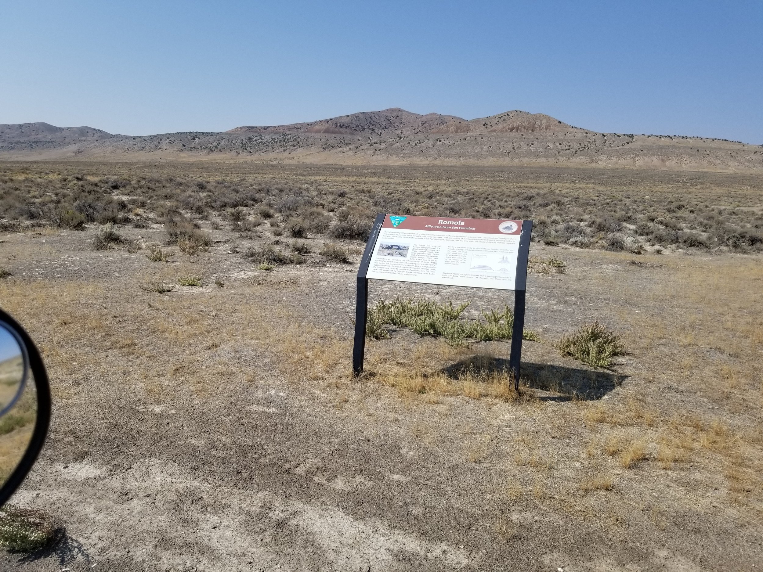
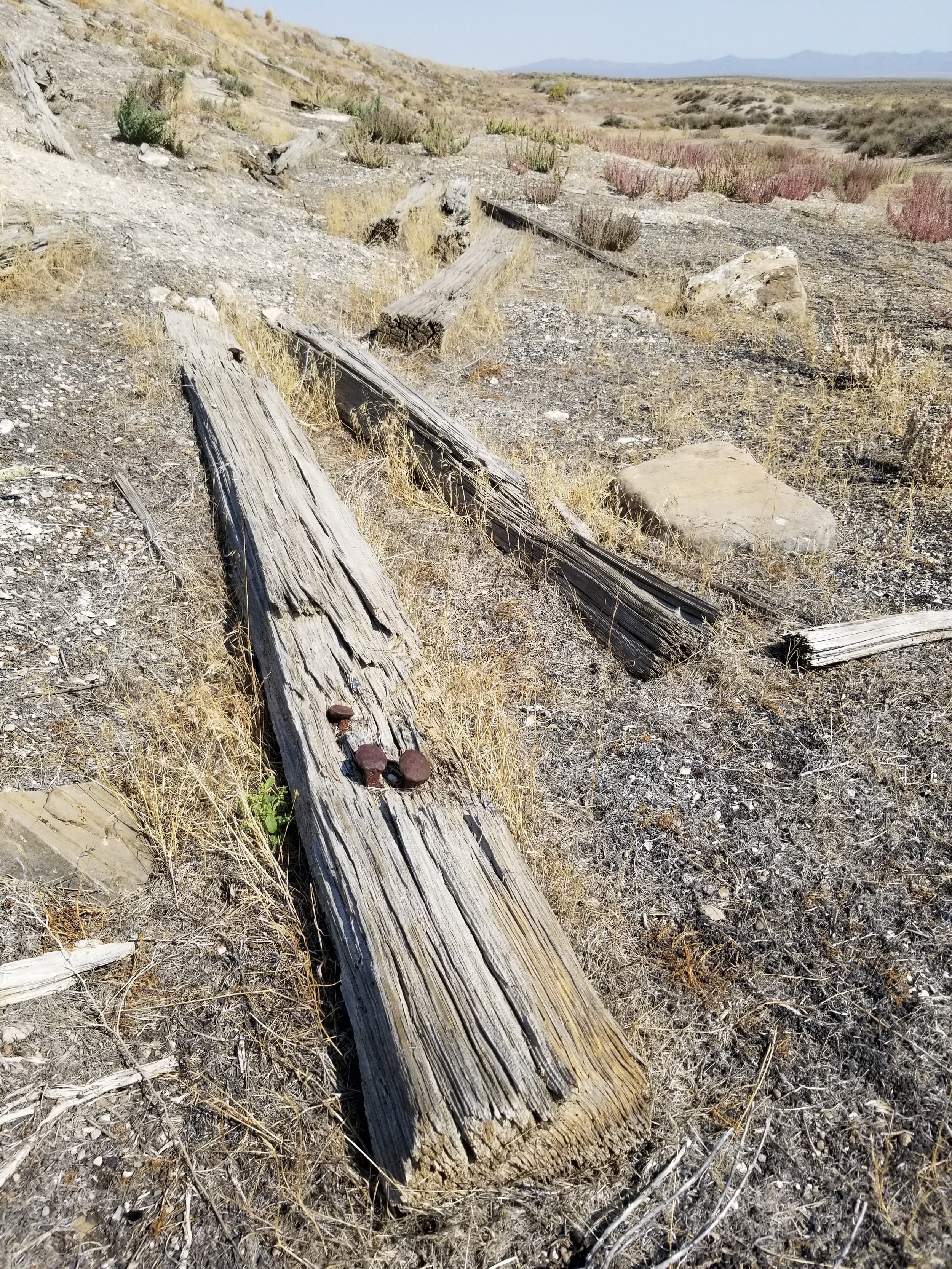
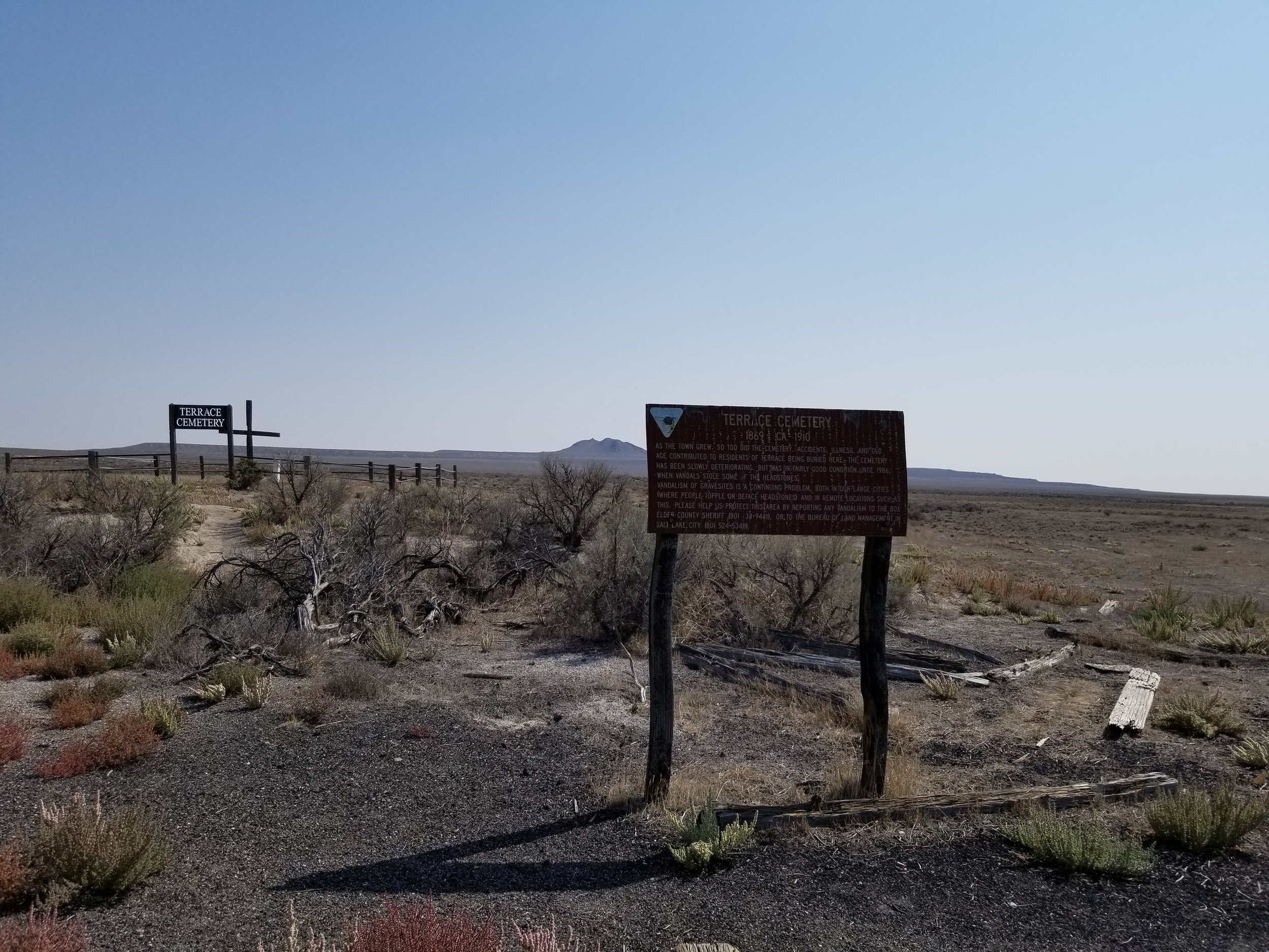
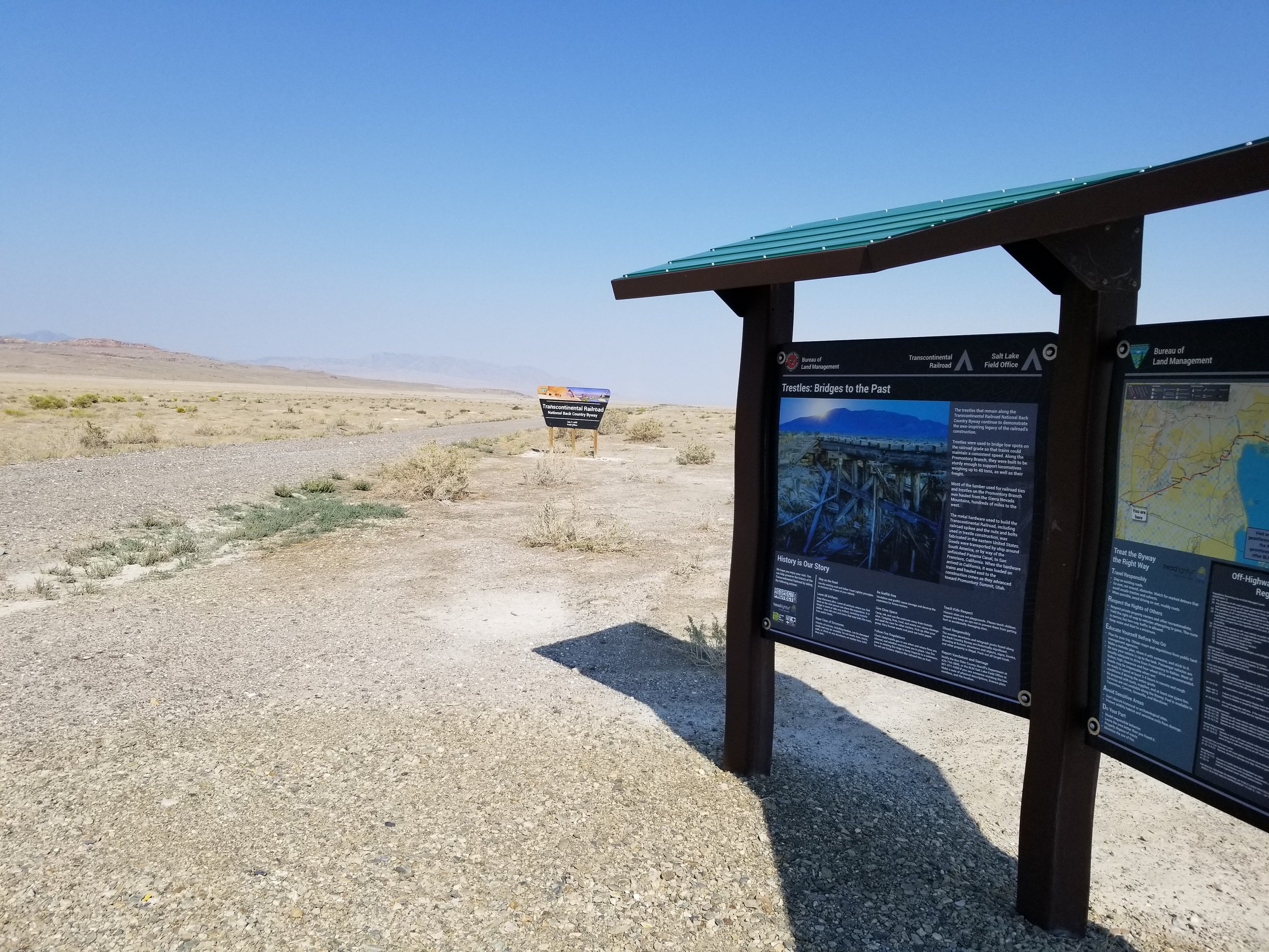
I recently rode the entire Utah Transcontinental Railroad Backcountry Byway, 90 miles of abandoned Central Pacific Railroad Grade across the northern part of Utah. The BLM guide to this route is here:
BLMUtahTranscontinentalRailroadMap.pdf
My main concern was range. When I started, I wasn’t sure exactly how far it would be from gas station to gas station, so I carried an extra three gallons of gasoline in addition to the already generous 5.3 gal tank on my 2010 BMW R1200GS. It turned out I didn’t need the extra gas. I took the shortcut due West from the turnoff to Golden Spike National Historic Park on ranch roads, but if I did it again I would do the whole route heading South West from Golden Spike which is only about 10 miles longer.
The route I did was 204 miles and I used 4.6 gallons of gas. The whole route, from Corinne UT to Snowville, UT, would have been 214 miles.
The water table is high and the soil (that isn’t old raised railroad bed) is heavy clay, so you don’t want to be out here when it has rained recently. The detours around the trestles can have very large puddles that are hard to get around.












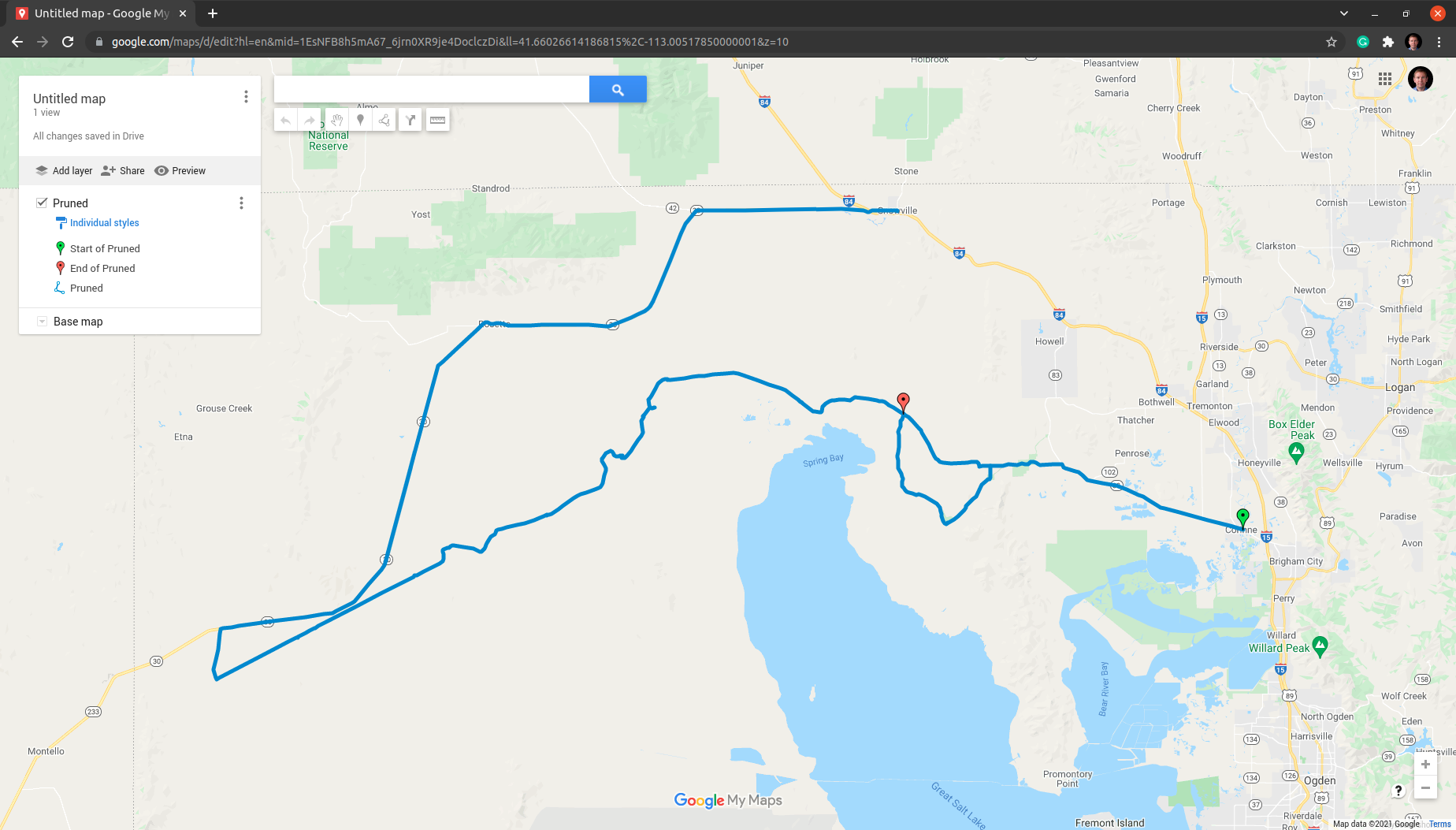
Click here to download the GPX file of the trip.